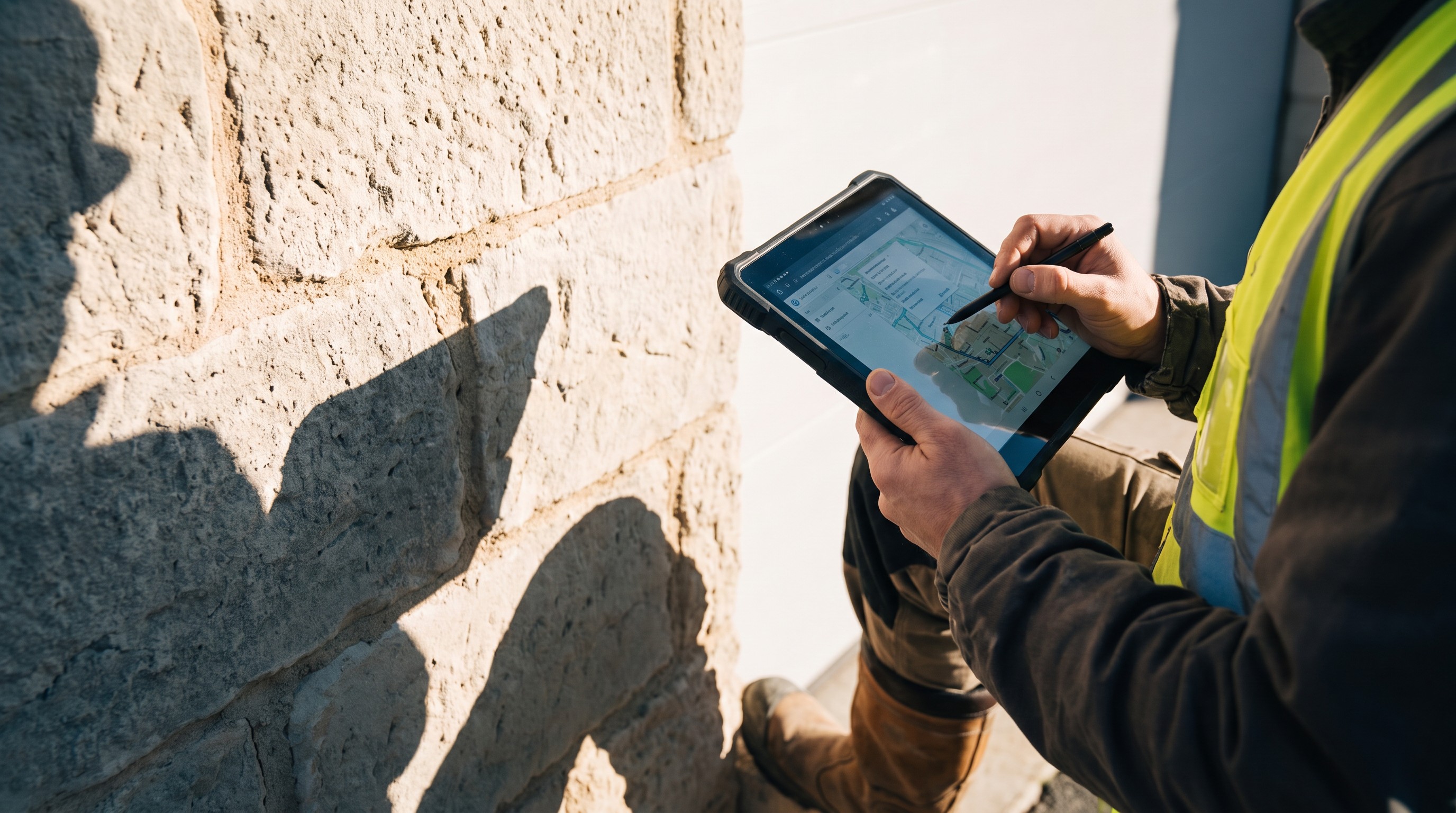
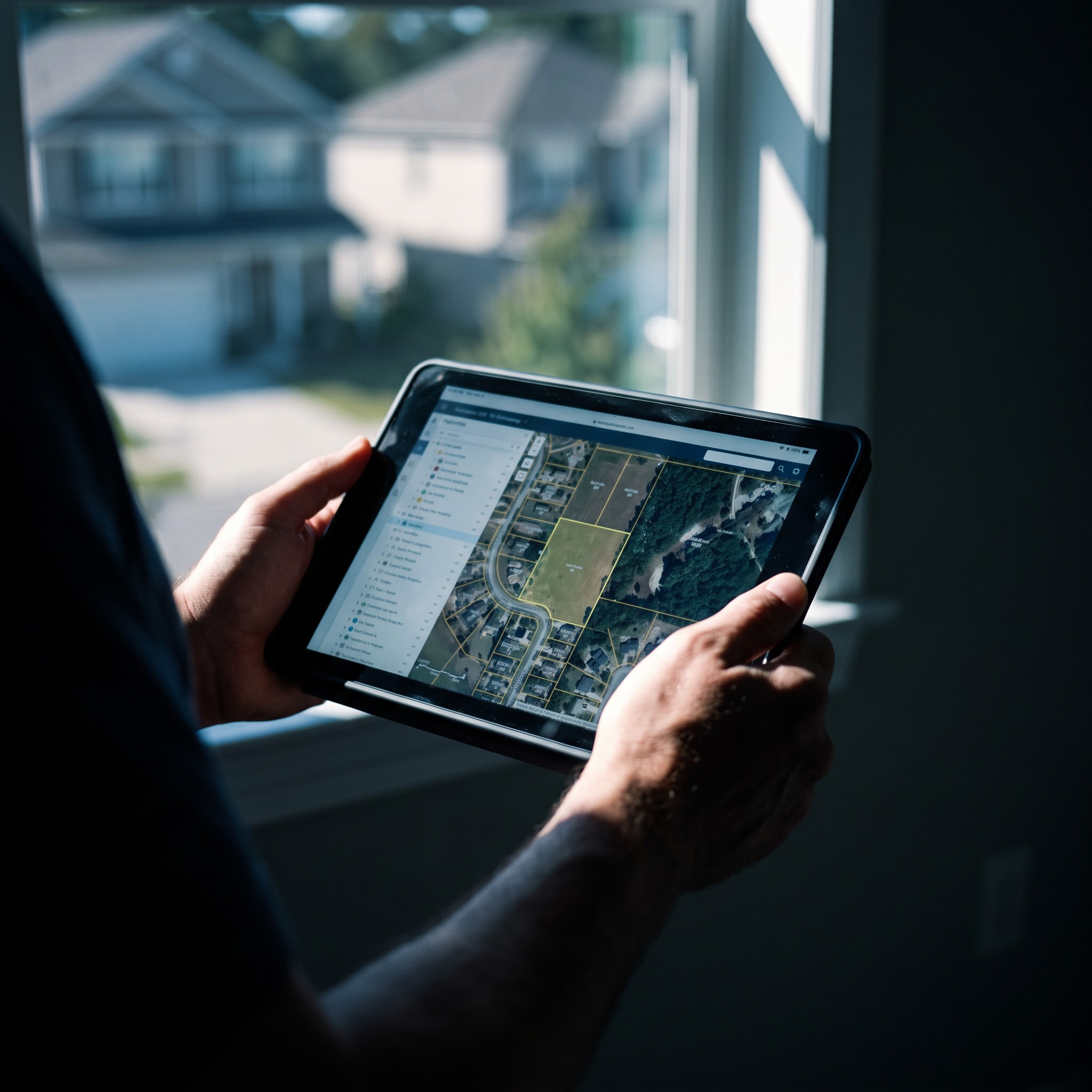
Property tax assessments are often hindered by manual data collection, lack of geospatial accuracy, and disconnected administrative systems.
To support modernized tax assessment, the company developed a hybrid mobile application that enables real-time property mapping, data capture, and integration with existing tax billing infrastructure.
This helped streamline surveys, improve tax accuracy, and boost administrative efficiency for local governments.
The client developed a GIS-based hybrid mobile application designed for municipal tax departments and authorized survey vendors.
The app enables large-scale property surveys by combining geospatial tagging, image capture, and owner information collection—all from the field.
With real-time syncing and backend integration, the platform modernizes how property data is captured, validated, and used in tax billing systems.